Description
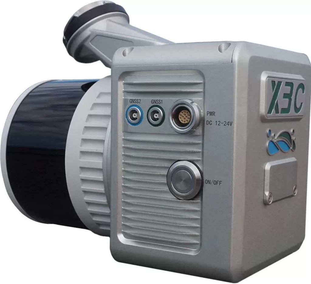
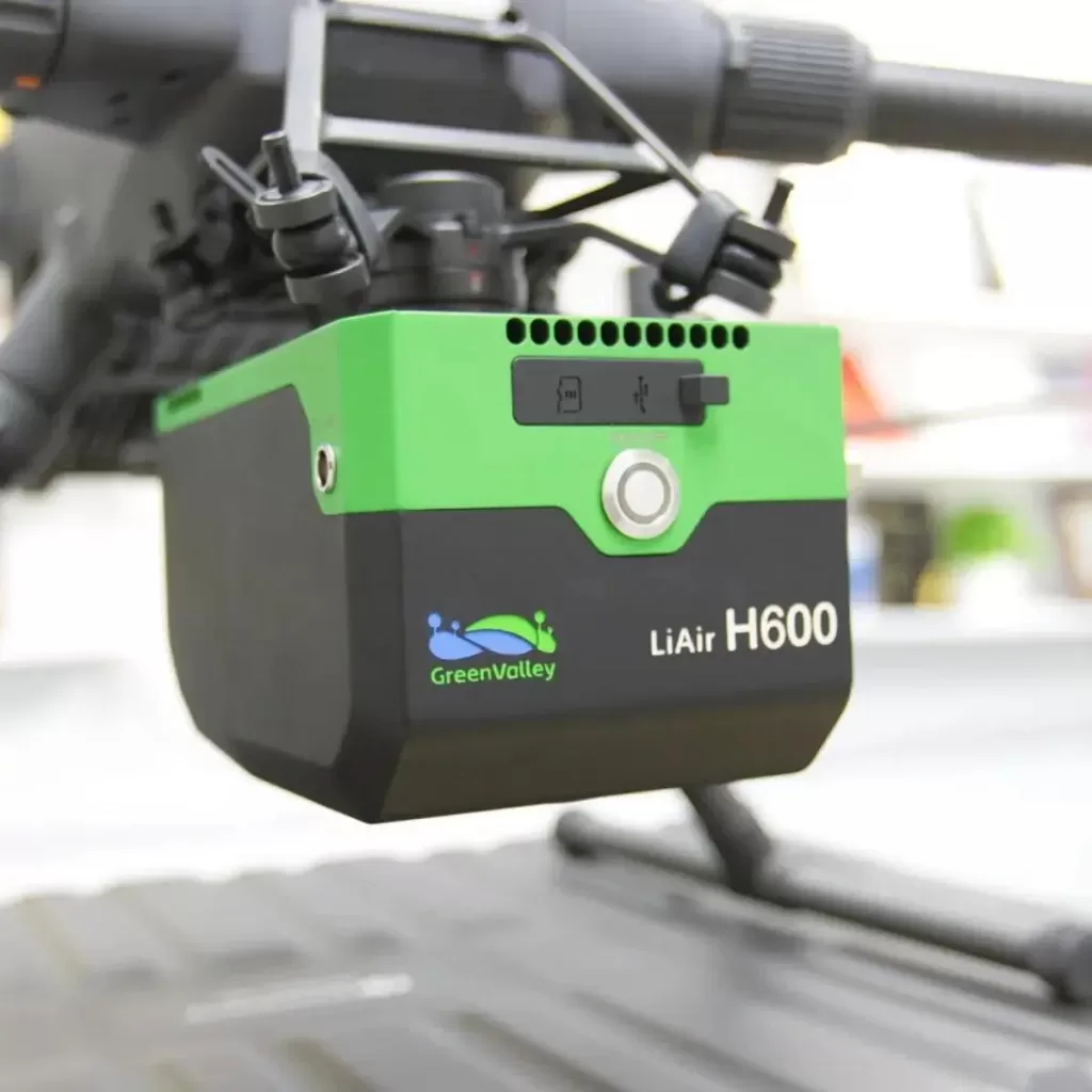
GreenValley LiAir X3C-H Compact UAV LiDAR System
Brand: GreenValley International
Category: Rangefinder/Lidar
About This Product
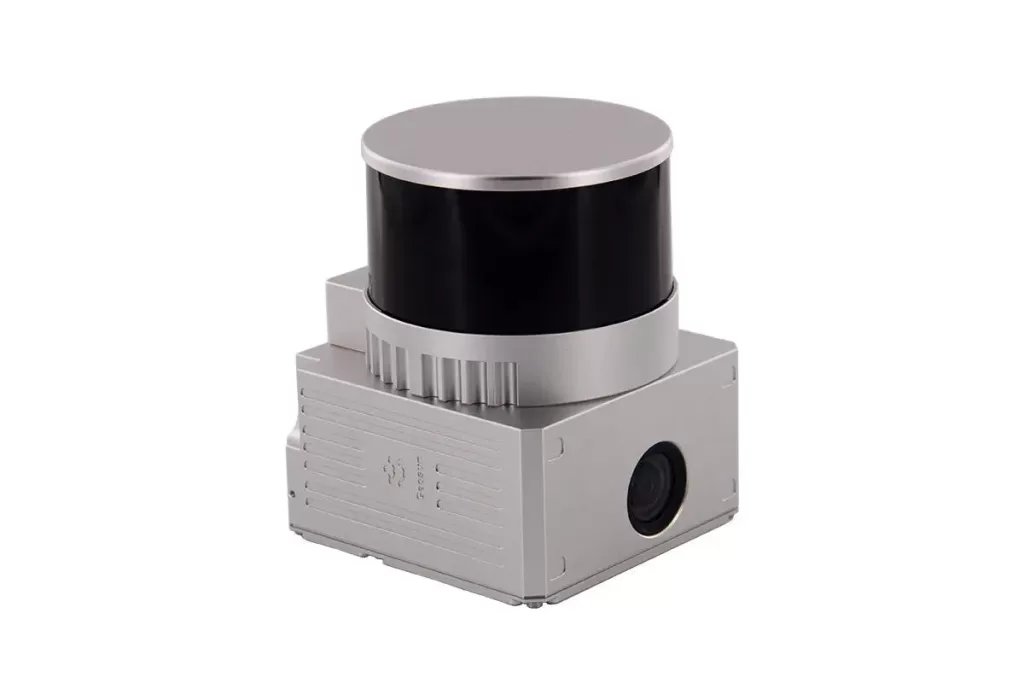
The GreenValley LiAir X3C-H is a compact aerial LiDAR payload designed for UAV-based 3D surveying and mapping. It combines a 360° laser scanning unit, GNSS/INS positioning, onboard data storage and a high-resolution 26 MP mapping camera in one integrated system.
Its high-speed point collection capability allows the system to record detailed information from terrain, vegetation and infrastructure. The integrated camera can also provide imagery for true-color point clouds and photogrammetric mapping.
Features
- Compact integrated UAV LiDAR design
- 32-channel laser scanning sensor
- 905 nm laser wavelength
- 360° horizontal scanning coverage
- 40.3° vertical field of view
- Up to 1.92 million points per second with triple-return operation
- Supports first, dual and triple returns
- Integrated GNSS and inertial navigation
- 200 Hz positioning data rate
- 26 MP high-resolution mapping camera
- Produces imagery suitable for true-color point clouds
- Supports orthophoto and photogrammetry workflows
- Built-in TF-card storage
- One-touch data copying and storage workflow
- External camera interface for compatible additional cameras
- Designed for power-line, terrain, agricultural and forestry surveys
- Compatible with GreenValley processing software
Technical Specifications
| Specification | Details |
|---|---|
| Brand | GreenValley International |
| Model | LiAir X3C-H |
| System Type | Compact UAV LiDAR System |
| System Weight | Approx. 1.12 kg |
| LiDAR Channels | 32 |
| Laser Wavelength | 905 nm |
| Detection Range | 80 m @ ≥10% reflectance |
| Detection Range | 200 m @ ≥54% reflectance |
| Detection Range | 300 m @ ≥90% reflectance |
| Vertical Accuracy | Approx. 5 cm @ 70 m |
| First Return Rate | 640,000 points/sec |
| Dual Return Rate | 1,280,000 points/sec |
| Triple Return Rate | 1,920,000 points/sec |
| Number of Returns | Up to 3 |
| LiDAR FOV | 360° H × 40.3° V |
| GNSS | GPS / GLONASS / BeiDou |
| Attitude Accuracy | 0.008° |
| Azimuth Accuracy | 0.038° |
| Navigation Data Rate | 200 Hz |
| Mapping Camera | Integrated RGB camera |
| Camera Resolution | 26 MP |
| Image Size | 6252 × 4168 px |
| Camera Focal Length | 16 mm / 24 mm equivalent |
| Storage | 256 GB TF Card |
| Power Input | 12–24 V |
| Power Consumption | Approx. 24 W |
| Operating Temperature | -20°C to +50°C |
| Storage Temperature | -30°C to +60°C |
| Communication | Wi-Fi |
| Typical Collection Speed | 5–10 m/s |
| Pre-processing | LiGeoreference |
| Post-processing | LiDAR360 / LiPowerline optional |
Reviews
There are no reviews yet.