
Description
Description
MPN: HX4-06312
Manufacturer: CubePilot
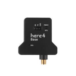
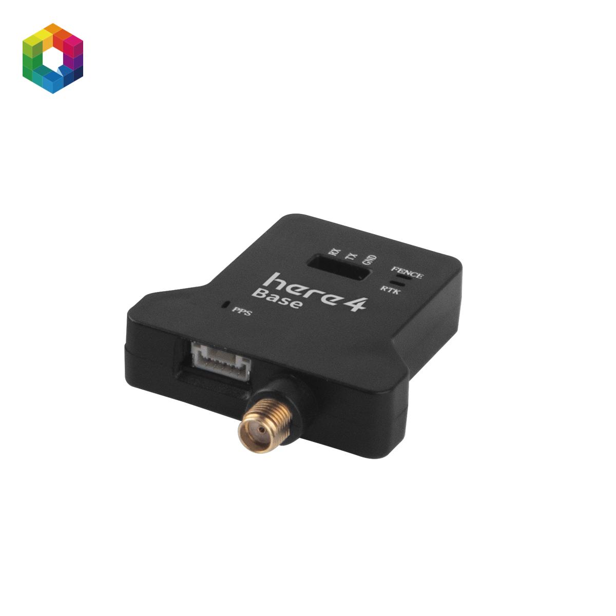
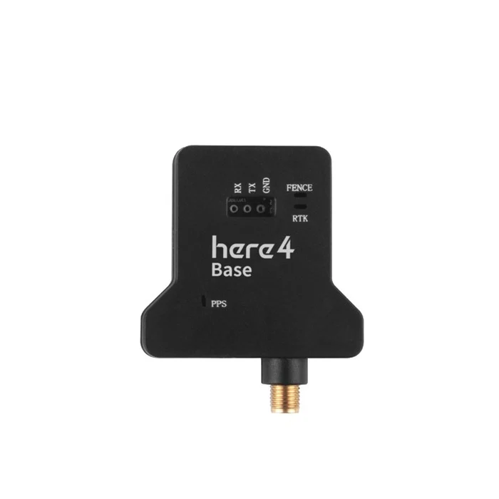
The Here4 Base is a professional RTK GNSS base station designed to work with compatible RTK rover modules for high-precision positioning. It provides reliable correction data to improve navigation accuracy, making it suitable for drone mapping, surveying, precision agriculture, and other geospatial applications.
The CubePilot Here4 Base is a high-precision RTK GNSS base station designed to provide correction data for Here4 rover systems. Built for professional UAV and autonomous applications, it enables centimeter-level positioning accuracy when paired with compatible GNSS modules.
Supporting multiple global satellite constellations including GPS, Galileo, GLONASS, BeiDou, and QZSS, the Here4 Base ensures reliable signal performance and fast acquisition in a wide range of environments. It is designed to integrate seamlessly with CubePilot Here4 systems, forming a complete RTK solution for mapping, surveying, and industrial operations.
Engineered to meet NDAA 2023 compliance requirements, the Here4 Base is suitable for government, enterprise, and security-focused deployments where trusted hardware sourcing is essential.
Features
- Professional RTK GNSS base station
- Provides high-accuracy RTK correction data
- Supports multiple GNSS satellite constellations
- Stable and reliable signal transmission
- Fast initialization for efficient field operations
- Compact and lightweight design
- Easy setup and deployment
- Compatible with RTK-enabled UAV systems
- Durable construction for outdoor use
- Ideal for mapping, surveying, and precision agriculture
Specifications
| Specification | Details |
|---|---|
| Product Type | RTK GNSS Base Station |
| Model | Here4 Base |
| Positioning Technology | RTK GNSS |
| Satellite Support | GPS, GLONASS, Galileo, BeiDou |
| Correction Output | RTK Correction Data |
| Installation | Ground Base Station |
| Compatibility | RTK GNSS Rover Modules and Compatible Flight Controllers |
| Applications | Drone Mapping, Surveying, Inspection, Precision Agriculture, GIS |
| Design | Compact and Lightweight |
| Usage | Outdoor Survey and UAV Operations |
Reviews
There are no reviews yet.