Description
About this Item
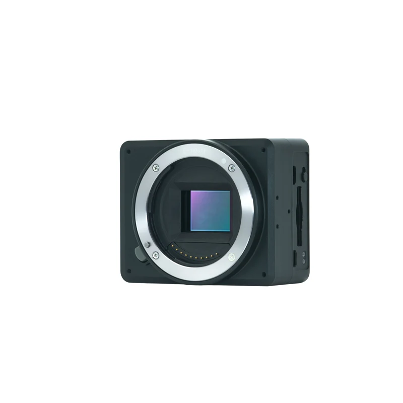
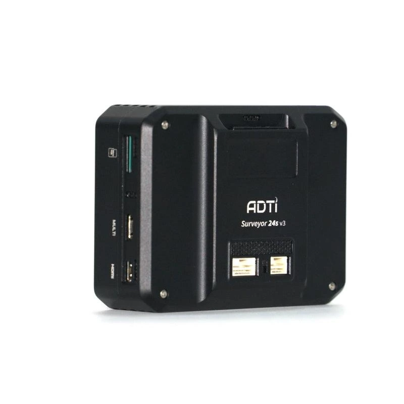
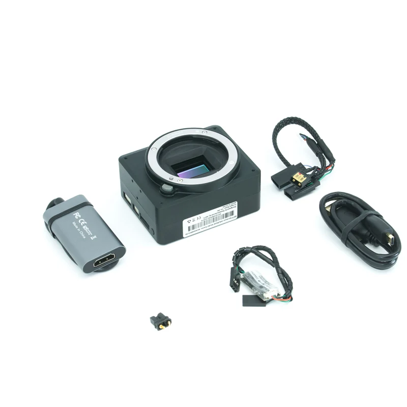
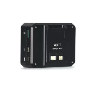
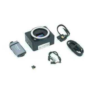
The ADTi 24MP 24S V3 Surveyor Lite Drone Mapping Camera is a professional aerial mapping camera developed for UAV surveying, photogrammetry, and geospatial data collection. Equipped with a high-resolution APS-C image sensor, it captures sharp, detailed images suitable for creating accurate orthomosaics, 3D terrain models, and digital elevation maps. Its compact and lightweight design makes it easy to integrate with fixed-wing and multirotor drones, while multiple mounting options allow seamless installation on gimbals and mapping platforms.
Features
- High-resolution APS-C image sensor for detailed aerial mapping
- Lightweight and compact design for UAV integration
- Supports RAW and JPEG image capture
- Compatible with Sony E-mount lenses
- Multiple mounting points for easy installation
- Fast image capture for efficient mapping missions
- HDMI output for external monitoring
- Supports automatic camera triggering for survey flights
- Reliable performance for professional photogrammetry
- Suitable for fixed-wing and multirotor UAV platforms
Specifications
| Specification | Details |
|---|---|
| Product Type | Drone Mapping Camera |
| Model | ADTi 24MP 24S V3 Surveyor Lite |
| Image Sensor | Sony APS-C CMOS |
| Effective Resolution | 24.3 MP |
| Sensor Size | 23.5 × 15.6 mm |
| Lens Mount | Sony E-Mount |
| Image Formats | RAW, JPEG, RAW + JPEG |
| Video Resolution | Full HD 1080p |
| Video Formats | XAVC S, AVCHD, MP4 |
| Camera Weight | Approx. 152 g |
| Dimensions | Approx. 76.5 × 62 × 38.4 mm |
| Power Input | 10–25V DC |
| Focus | Auto Focus & Manual Focus |
| Applications | Surveying, Drone Mapping, Photogrammetry, GIS, Construction, Mining, Agriculture, Inspection |
Reviews
There are no reviews yet.